Power line inspection

APPLICATIONS

Drones are an effective way to inspect power lines. The benefits are many, it is environmentally friendly and without disturbing humans or wildlife. The use of drones simplifies preventive maintenance measures that reduce the probability of unplanned interruptions in electricity and power line networks.


Other applications

Survey and mapping

Survey and mapping

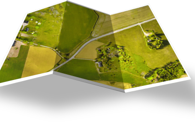
With our drone systems you are able to quickly survey large areas with a very high precision. When you analyze the data from the flight, you can generate DSM:s and orthophotos that are accurate down to a couple of centimetres. All done quickly and safe.
Mining

Mining

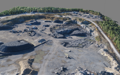
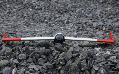
Work such as documentation, inventory, surface exploration, volume calculation of stockpiles and determination of removed volume can be done quickly and safely, and in almost any weather. By monitoring mines and quarries, operational planning is streamlined.

Forest detection

Forest detection

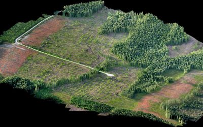
Our system is regularly used for mapping forests, finding wind-thrown trees and monitoring damage from insects etc. Today, it is common practice for companies in the forestry business all over the planet to navigate through thick forests looking for piles of timber or trying to survey the area.

Agriculture

Agriculture

The SmartPlane drone will efficiently cover large areas. That makes it an excellent tool for quickly getting an overview of crops and plantations, and for generating terrain development plans. The specialised cameras will allow you to make high precision analysis of your crops, detect pests or stress

Humanitarian aid

Humanitarian aid

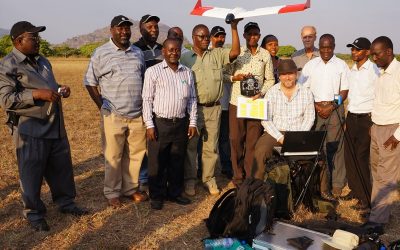
Drones help and do good. They are used worldwide by companies, organizations, researchers and citizens in various uses. Here are some examples of areas where UAV (Unmanned Aerial Vehicle) does something really good for humankind and for the planet. The sky is definitely not the limit.