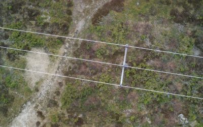
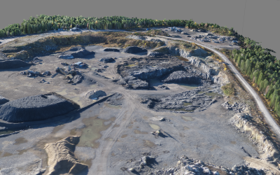
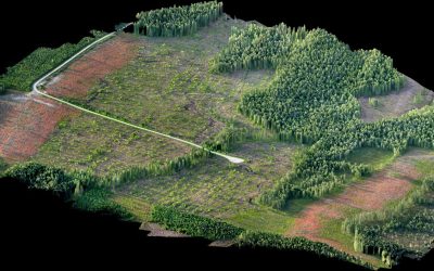
The SmartPlane drone will efficiently cover large areas. That makes it an excellent tool for quickly getting an overview of crops and plantations, and for generating terrain development plans. The specialised cameras will allow you to make high precision analysis of your crops, detect pests or stress. In case you land where the drone is hard to find, such as in a cornfield, the special tracker included in our system will guide you to the exact location of the plane.
The human eye can only perceive certain wavelengths. A camera, however, is able to see far more, for example near infrared(IR). IR cameras can be used for surveying crops and plants since chlorophyll reflects IR. A healthy plant with more chlorophyll will for example reflect more IR than an unhealthy plant, giving you valuable information on what areas to take care of and focus on. The camera will also help you detect signs of stress, ripeness and overall development of the crop.