Combining UAV Imagery, Volunteered Geographic Information, and Field Survey Data to Improve Characterization of Rural Water Points in Malawi.
Reporting on the Sustainable Development Goals (SDGs) (2015–2030) has become more complicated than reporting on the Millennium Development Goals (MDGs), given the increase in the number of goals, targets, and indicators. SDG 6 is focused on ensuring availability and sustainable management of water and sanitation for all.
The project describes a methodology for combining various data sources to create a more comprehensive dataset on SDG 6.1.1. (proportion of population using safely managed drinking water services).
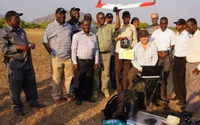
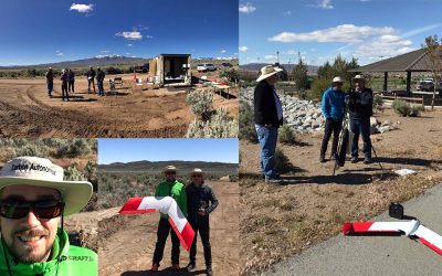
SmartPlanes Freya was used to facilitate visual detection of water points on Unmanned Aerial Vehicle (UAV) imagery and estimate the number of people served per water point. Combining data on water points identified on our UAV imagery with data on water points from
field surveys improves the overall quality in terms of removal of inconsistencies and enrichment of attribute information.


