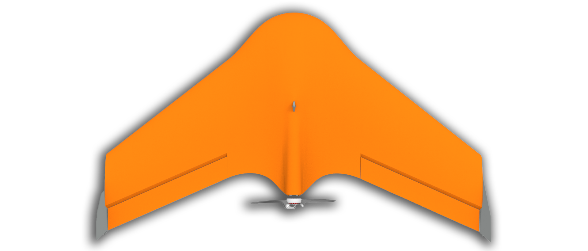
Fixed wing drones
Our fixed wing drones can fly for a long time, are robust and can cover large areas in a single flight. This makes them the ideal tool for collecting flight data.
Plan
The SmartPlanes system includes mission planning and flight planning software that runs on a standard android tablet. Using an intuitive interface you are able to outline the area you want surveyed, or plan an exact route for the drone.
Fly
Unpacking the drone and getting ready for launch takes less than 10 minutes. When it’s time, just throw the drone into the air and begin working. Or rather, the drone works for you; activate the flight mode and watch it cover the area you’ve specified with the software. When it’s time to land you can choose between linear or circular auto landing, but our system also gives you the option to land in an autopilot assisted manual mode where the drone is guided manually for pinpoint landings. This enables the drone to land where other drones can’t.
Analyze
Once you’ve downloaded all the photos and data from your flight, you’re in possession of a goldmine of knowledge. With our software you’re able to analyze fields, forests, quarries and other environments down to astonishingly precise detail. If the analyzing task seems daunting, we’re always glad to help you unleash the power of your data.
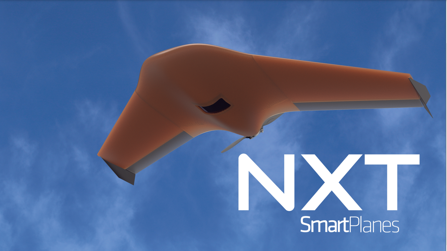
SmartPlanes NXT
Smartplanes NXT flies this summer
Freya 2.0
Our Freya is spread all over the world to a large number of customers in various industries.
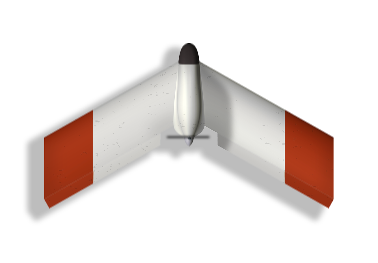
Odin
Odin will be used as a platform for new areas of use
Get a Quote
Projects


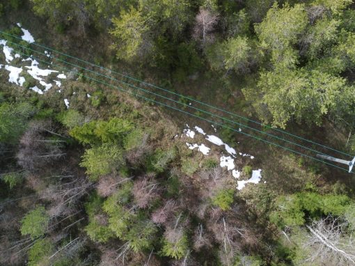
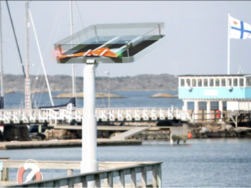
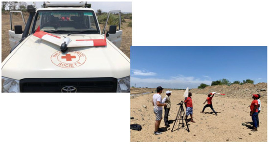
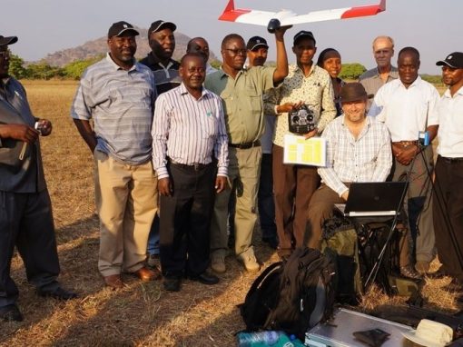
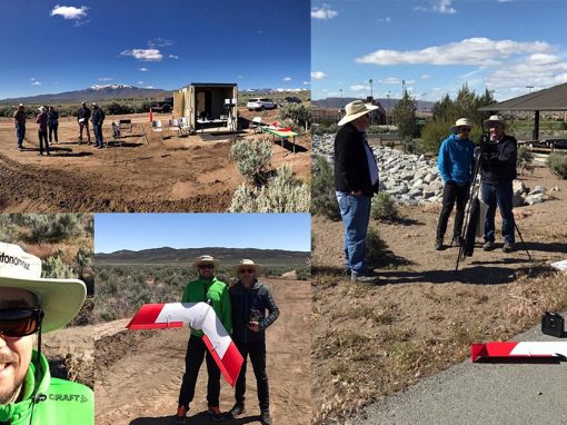

SmartPlanes develops high quality and state of the art fixed wing drones for aerial mapping, surveying, remote sensing and surveillance. Drones that deliver precise results in an efficient and safe way. Drones that do good.
SmartPlanes
Bunäsudden 32, 944 94 Jävre, Sweden
+46(0)70-236 80 06
contact@smartplanes.se
