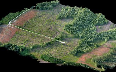
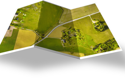
With our drone systems you are able to quickly survey large areas with a very high precision. When you analyze the data from the flight, you can generate DSM:s and orthophotos that are accurate down to a couple of centimetres. Work such as documentation, inventory, surface exploration, can be done quickly and safely, and in almost any weather. Because the work can be done efficiently, the costs are cut. It is also possible to survey unreachable areas and deliver aerial maps that otherwise would be almost impossible to produce.
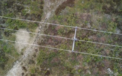
Power line inspection
Drones are an effective way to inspect power lines. The benefits are many, it is environmentally friendly and without disturbing humans or wildlife. The use of drones simplifies preventive maintenance measures that reduce the probability of unplanned interruptions.